Current weather data
We'll look at a lot of weather data in the course. Here's what's going on locally.
Radar (Shows Rain & Snow)

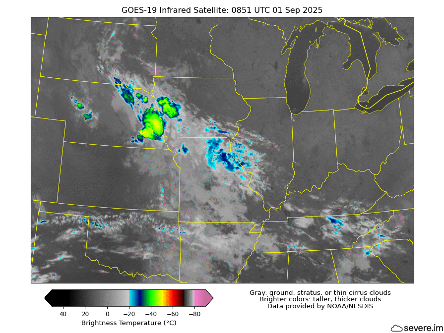
Infrared Satellite (Cloud Temperatures)
About the images
- The radar shows a "mosaic" of multiple individual radar locations (Indy, Evansville, Louisville, ...) stitched together, much like you'll see in any app that you have on your phone. All these radars are based here on the ground.
- The satellite is up in space, taking measurements of how warm/cold each pixel looks. The coldest temperatures are probably clouds (see the short description on the image).
- I take data from NOAA and produce the images myself. "severe.im" is a domain I've used to serve weather data for a long time. The radar data are plotted in a program called Grads, and astute observers can tell the satellite data are plotted using Python.